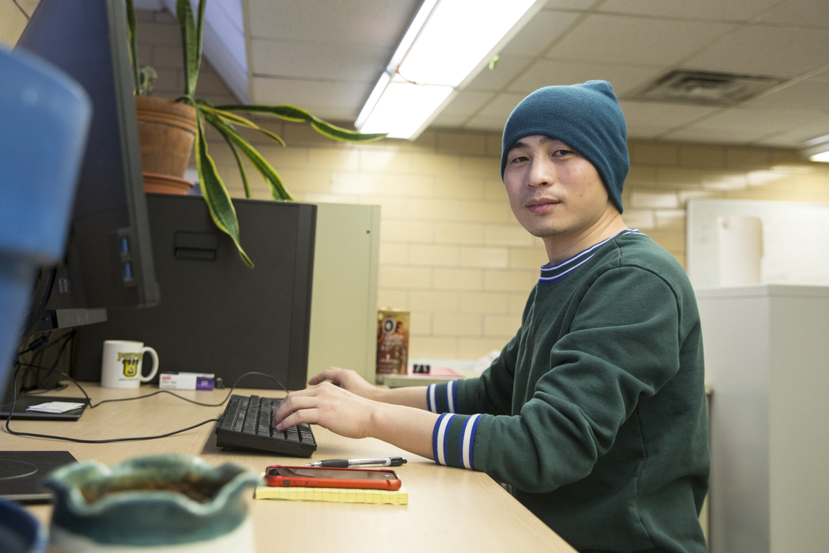
Postdoctoral Researcher Spotlight: Yanhua Xie
Our undergraduate, graduate, and postdoctoral researchers play an enormous role in the transition to a sustainable, resilient, and affordable energy future that is centered on social and economic equality. From lab experiments to field work to classrooms, these leaders of today and tomorrow are our catalysts for energy discovery.
In this series, we learn more about what inspired these talented researchers, what brought them to their field of study, and the questions that drive their work at the Wisconsin Energy Institute (WEI).
This week we spoke with Yanhua Xie, a postdoctoral researcher in the Holly Gibbs lab at the University of Wisconsin–Madison. Yanhua is from southeastern China and studied urban land use for his Ph.D. at Indiana State University.
Can you tell me a little about your academic background and current focus?
I received my Ph.D. from Indiana State University, where I used multi-source satellite images to characterize and monitor urban development. At UW–Madison, my research is further extended to monitor cropland dynamics, such as irrigation, expansion, and abandonment.
My research interests are remote sensing, land use change, irrigation, urban-agriculture interactions, and machine learning. My research focuses on using satellite data, machine learning, and environmental modeling techniques to understand land and water use competitions between urban and agriculture systems.
What did your path to UW–Madison look like?
While I was studying at Indiana State University, I was shocked by how much productive cropland has been occupied by urban development, which is an irreversible process. To further understand how urban development impacts cropland uses, I sought a postdoctoral position on cropland monitoring and the impacts of urban-agriculture interactions. Dr. Holly Gibbs and Tyler Lark provided the opportunity for me to explore agriculture and irrigation changes and their environmental impacts across the U.S. Their research on socioeconomic and environmental impacts of land use change showed me I can contribute to the team and extend my research as well.
Can you tell me about your recent publications?
I recently had one paper published in the journal Earth System Science Data. For this paper, we defined the distribution of intermittently and formerly irrigated land in the U.S. using maps developed from Landsat satellite data. I wanted to look for where irrigation occurs and where croplands have been irregularly irrigated or abandoned, so we developed annual irrigation maps for 1997 through 2017 at a 30-meter resolution, which is the highest resolution available in the United States. The paper systematically reports quality comparisons between our maps and existing ones. We also created layers within the irrigation maps of maximum irrigated extent, irrigation frequency and trends, and formerly and intermittently irrigated lands.
My second recent paper, “Mapping Annual Irrigation from Landsat Imagery and Environmental Variables Across the Conterminous United States,” is published in Remote Sensing of Environment and describes the technical details used to create the irrigation maps. It includes algorithm development, image processing, classification, accuracy assessment for map quality determination, and irrigation change analysis. This paper was also the first time a study such as this included an accuracy assessment for the maps for the entire U.S. Although this was a time-consuming process, it is useful to demonstrate the accuracy of our results.
Additionally, we found in our second paper that irrigation frequency depends on many cropland characteristics, such as crop type and rotation, field abandonment, and precipitation levels. Our developed algorithms can routinely provide cropland and irrigation identification at different locations in the U.S.

What are the practical uses of these findings?
This kind of field-level information about cropland and irrigation distribution allows researchers and government entities to identify patterns of change in irrigation and cropland throughout the country. Researchers at the Great Lakes Bioenergy Research Center (GLBRC) and WEI could use these maps to help establish the locations of marginal lands for biofuel crop development, since formerly irrigated lands and intermittently irrigated lands are a subclass of marginal lands.
The irrigation and annual cropland maps could be combined to study how irrigation and cropland are tied together in different locations. We predict that the irrigation maps will be used by the USGS to better estimate irrigation water use at the field level. We could also see wildlife and habitat protection groups using these maps to identify cropland that could infringe on protected land and study the impacts of irrigation practices on biodiversity. Environmental research institutes could use these maps to study water use and the environmental impacts of irrigation. On the industrial side, agribusiness could use the irrigation change information to guide irrigation-related investments and improve farming practices on cropland that is still in use.
Why are these applications important to biofuel researchers and producers?
Bioenergy producers want to reduce the amount of land they convert to bioenergy feedstock crops to further reduce the negative impacts of converting new land to agriculture. Knowing the locations of formerly or intermittently irrigated land and abandoned cropland can help researchers and producers find land that has already been converted to agricultural land but may not be in use. This allows the marginal land to become economically and environmentally productive.
How do you feel about creating maps that have so many uses?
I have realized that we do not know how many applications a map really has. But I find this really cool!
What will your next project be?
Our next project will be examining driving forces of cropland and irrigation dynamics in the U.S.
I am also starting a new project to develop deep learning algorithms to detect irrigation system types, including sprinkler, micro, and surface irrigation. When combined with existing irrigation distribution maps, these will present a more complete information about irrigation for more accurate water use estimations.

What do you enjoy about being a postdoctoral researcher at UW–Madison?
I now complete very broad, flexible, and self-motivated research beyond what I studied for my Ph.D. I can work with many different groups and can learn how my work benefits others.
I enjoy the diversity in the research done here and through GLBRC. I like seeing how my work translates into other research, whether that be in biofuel production, water use, or ecology.
What do you enjoy about living in Madison?
Madison is a great place to live and work! It is a quiet and convenient city to live in. The UW campus has many beautiful vegetation and lake scenes. Everyone is very friendly, and I like when it starts snowing.
Where is your favorite place on campus?
The Memorial Union Terrace is my favorite place on campus. It has beautiful lake views, along with great spots for a team meeting. My kids like the ice cream there too!
What are your plans for the future?
My long-term goal is to start a lab as a professor in geospatial science. I want to continue my research on land use monitoring. I would like to build a team of friendly, fair, and collaborative scientists in the future. I am grateful to have supportive members of the Gibbs land use lab and GLBRC teams and plan to collaborate closely with them in the future.
What do you do when you’re not working?
I enjoy gardening and fishing in my free time. I enjoy the achievement of seeing my plants grow from seeds and harvesting what I grow. I also like watching movies with my kids.
What is one fun fact about yourself?
I love playing table tennis! I started to play table tennis when I was in middle school and like the feeling of speed.